Learn about Virginia Beach's watersheds
Watershed wa-ter-shed | noun
Also known as a drainage basin, it is an area of land where all water drains to a central point like a particular lake, river, or stream. When rain flows over a surface, it will eventually make its way to that central point. |
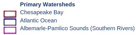
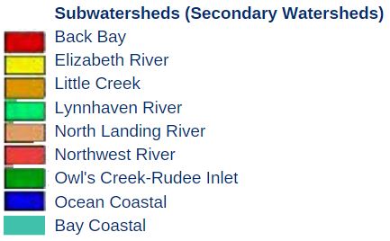
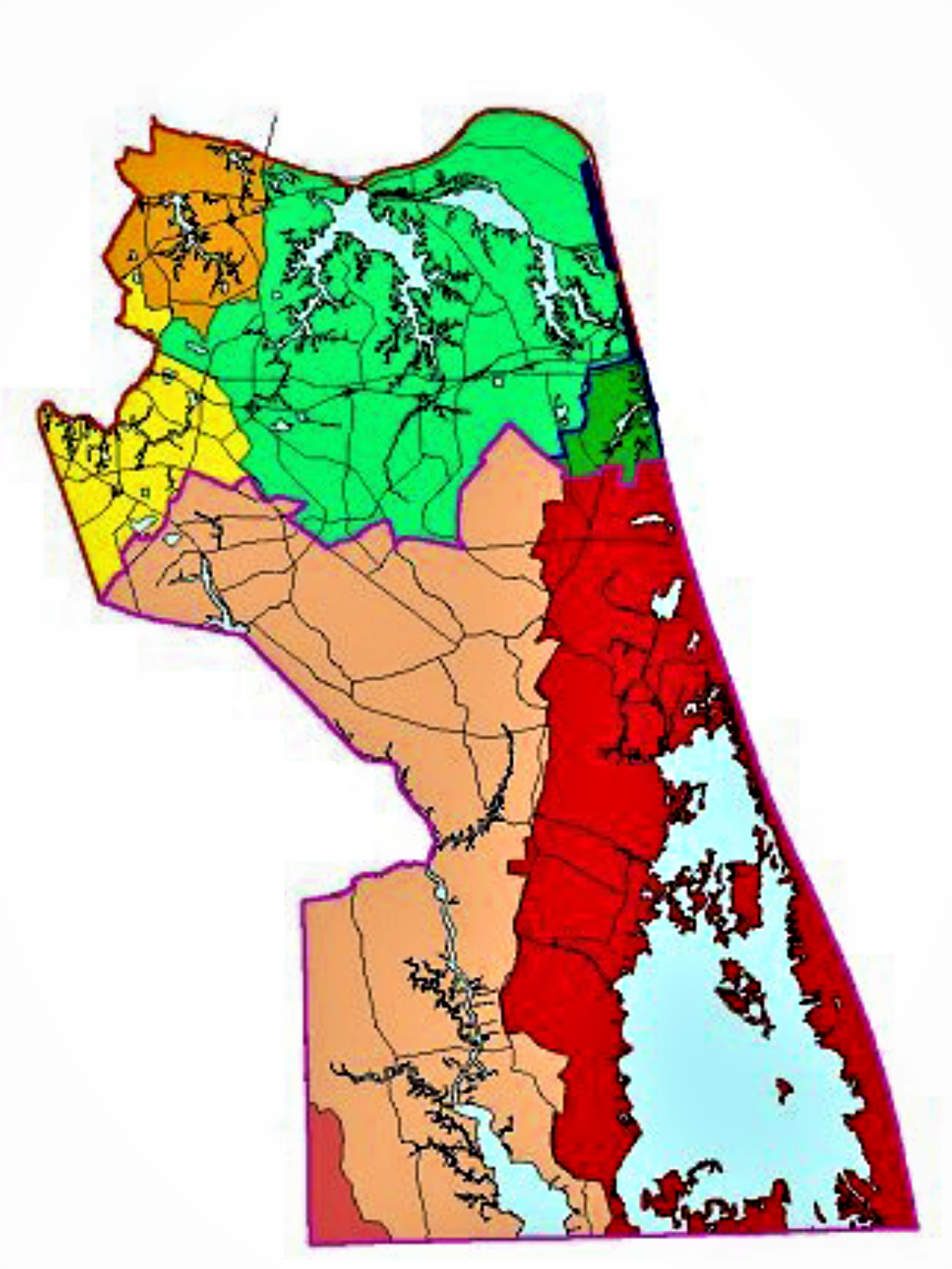
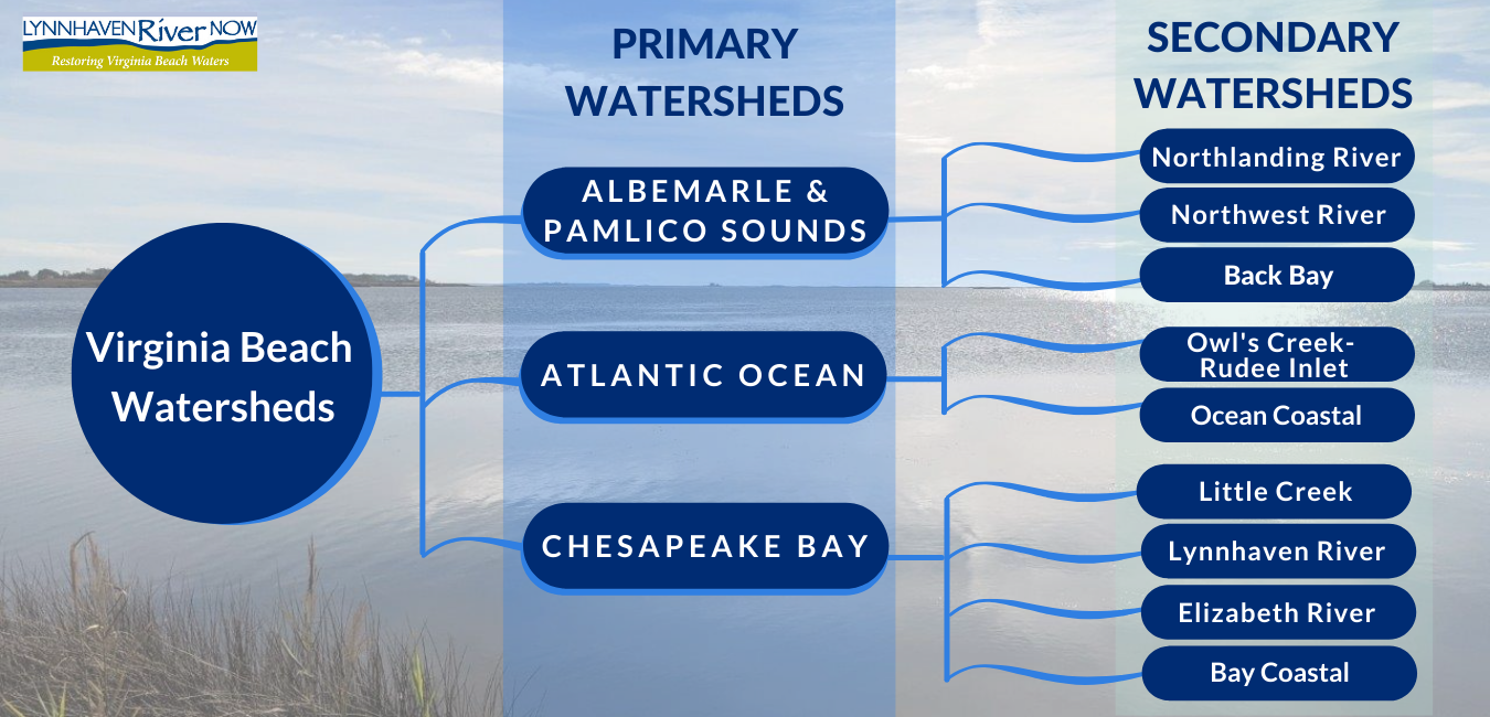
Virginia Beach has a very complex system of watersheds. Each has its own history and beauty and for the network of our waterways that shape our land and our lives. In Virginia Beach there are nine secondary watersheds that make up three primary watersheds, the Chesapeake Bay, Atlantic Ocean and Albemarle-Pamlico Sounds.
In Virginia Beach, the northern and more urbanized portions, 31% of the city, drain into the Chesapeake Bay. The central, southern and more rural areas which make up 66% of the city drain to the Albemarle-Pamlico Sounds (Southern Rivers) primary watershed. The remaining 3% portion of the city located along the coast drains to the Atlantic Ocean primary watershed.
Primary Watersheds
| Primary Watershed |
Approximate Acreage |
Percent of City |
| Chesapeake Bay |
61,000 |
31% |
|
Albemarle-Pamlico Sounds (Southern Rivers)
|
130,000 |
66% |
| Atlantic Ocean |
5,500 |
3% |
| Total Area |
196,500 |
100% |
Source: City of Virginia Beach Department of Planning and Community Development
What Primary & Secondary Watersheds do you live in?
Use your mouse or keypad to hover over Virginia Beach’s watersheds on the map below. Click on the highlighted area to learn more about each individual watershed!
Virginia Beach Watersheds
Owl's Creek-Rudee inlet
Owl's Creek runs behind the Virginia Aquarium and Marine Science Center and joins the Rudee Inlet to flow into the Atlantic Ocean. Rudee and Owl Creek are salty like the ocean and the home to many ocean going boats. The watershed contains several neighborhoods and forms the southern part of the resort area.
|
The interactive watershed address finder map developed by the Department of Conservation & Recreation (DCR) is a great tool to use to find your watershed. Once you type in the address, look at the map and you’ll see a red dot locating your address. Zoom in on the map and then click on the area within the brown boundary where your location is. A box will pop up with the State’s name of the watershed.
*Please note: Southern Rivers Watershed is also referred to as the Albemarle-Pamlico Sounds Watershed.