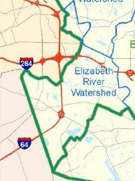
Location
- The Elizabeth River Watershed is on the west side of the City, and shares boundaries with the cities of Norfolk and Chesapeake.
Size (shoreline & acreage drained)
- Watershed 9300 acres
- 10.6mi shoreline (approx)
Topography
- Land elevations highest in all the watersheds with only 3% of the tidal land under 3ft elevation.
% owned by State or Federal
Names of Federal or State properties
- No Federal or state open space areas
Major Bodies of Water and Salinity
- Lake James, freshwater
- Lake Edward, freshwater
- Diamond Lake, freshwater
- Eastern Branch Elizabeth River, brackish
- Salinity is high enough to support oyster restoration
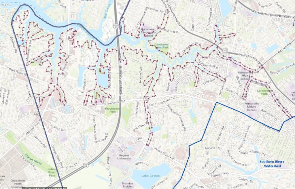
Recreation Areas (access points, natural areas, parks)
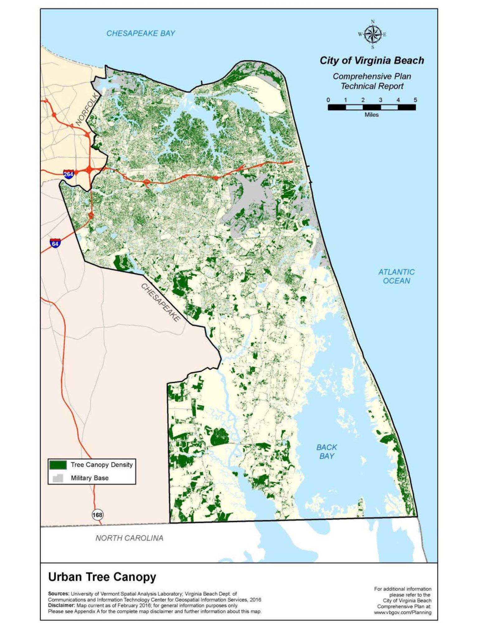
Plants
- Trees: Live oaks, red maples, dogwood, sycamore, American elm, river birch, American holly, red bud, coniferous, loblolly pines, bald cypress, sweet gum and hickories.
- Shrubs, vines and grasses including (but not limited to): poison ivy, greenbrier, Virginia creeper, elderberry, wild rose, black cherry, honeysuckle, needlerush and blue-eyed grass
- City of VB Elizabeth River Nature and Canoe Trail Brochure
- *Special thanks to LRNow’s Clay Bernick. Clay was a major contributor to much of the information provided in this brochure.
Wetlands
- High Marsh dominates with some coverage of salt marsh, woody wetlands and scrub
Animals
- Young blue crab, baby spot and croaker, some oyster toadfish, small summer flounder, eastern oyster, red drum, marsh fiddler crab
- Muskrats, raccoons, river otter
- Crested cormorant, plover, common tern, snowy egret, gulls, coot, black duck, heron, bald eagle, great egret
Threats
- Flood risks due to increased urbanization, degradation of naturalized landscapes, aging infrastructure and sea level rise.
- Marked as severely degraded
History
- Colonial port for sailing ships at Kemp’s Landing (now Kempsville).
- John Ackiss was the first Virginia casualty of the American Revolution in the 1775 Skirmish of Kempsville.
- Pleasant Hall, 317 S. Princess Anne Road, used as headquarters by Lord Dunmore in the early days of the Revolutionary War.
- Courthouse moved to New Town on the North side of the Eastern Branch of Elizabeth River in 1758
- Courthouse was located in Kemps Landing, in now Kempsville area, from 1778-1784
Carraway House-oldest surviving structure in Kempsville. 317 S Witchduck. Built 1735
- Former Oyster Mecca-Oyster shells were used to form the foundation of “Shell Road” now Indian River Road in Virginia Beach and Chesapeake
- Lake James
94-acre water body; est. in 1984 as a stormwater pond
- Ferry Point Park
Opened 2019; 9 acres of wetlands and forest; Living River Restoration Trust newest land conservation nonprofit (Cova Biz, 2019)
Misc.
- Senate 7
House 85
City Council: Centerville 1, Kempsville 2, Bayside 4
- Click to view map of LRNow’s Pearl Schools located in the Elizabeth River Watershed.

Do you live in the Elizabeth River Watershed? Order your FREE sticker today! Email Office@LRNow.org
Don’t know which watershed you live in? Click HERE to discover your watershed.